Correspondances & Carnet - Voyage Immobile

Précédent    Jour 20Suivant


----- Original Message -----
From: Jürgen HEYN
To: Cathbleue
Cc: Picabiette
Sent: Sunday, January 19, 2003 4:36 PM
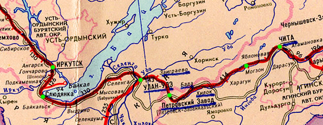
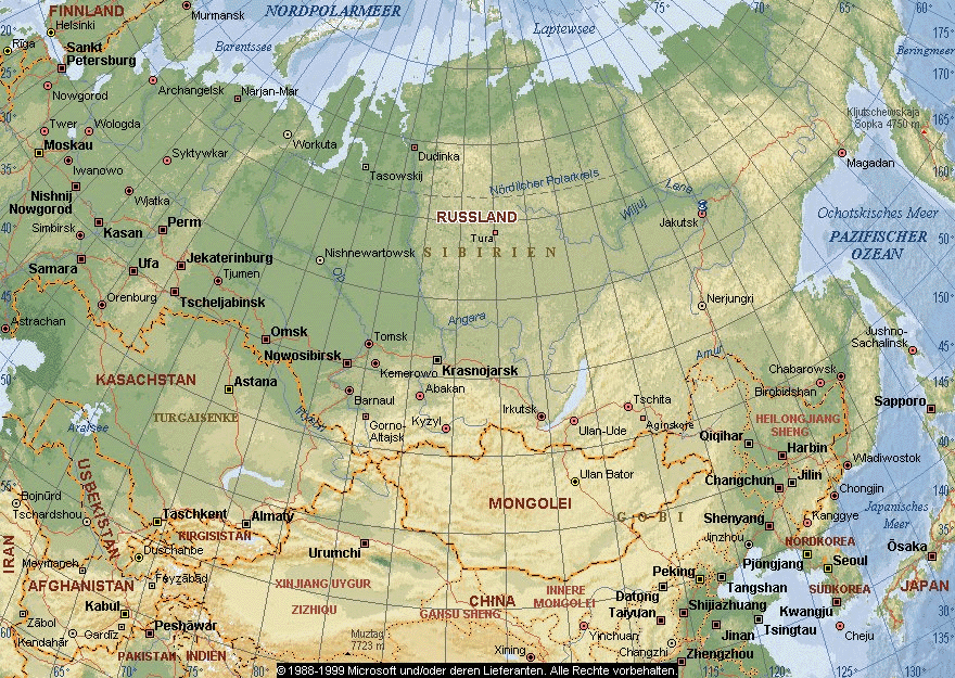
Subject: Re: Trans Sibérian railroad ?

Dear Cathbleue,

the Peters-Map is an equal-area map.
That means, that all countries are displayed in respect to their true size.

The shape of each country is distorted, at the most along the equator and at the pols. The latitude with the least distortion is about 45°N/S.
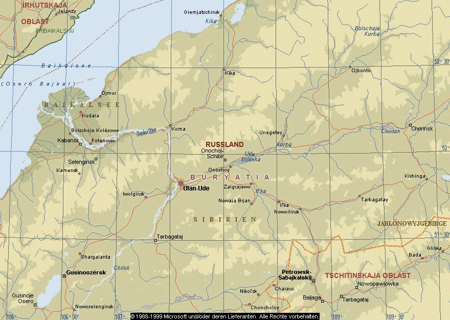
Because of its map criteria the Peters-Map is not very suitable for measuring distances on this map.

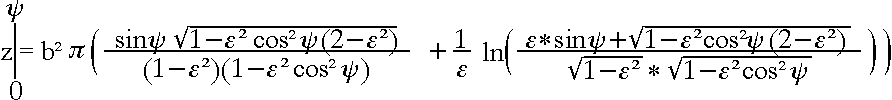
If a distance between two points is measured on the earth's surface, this distance will appear on a map according to the respective projection.

It is possible to calculate distances on the earth' surface, and yes, you need the geographic coordinates for this.

There are two ways to calculate distance.
•The great circle distance between two points. (Take a string and pull it tight on a globe between the two points).

• The other way of distance calculation it for sailors using a constant compass course between two points.


A railroad track does not necessarily follow the great circle line, or you have to divide the distance in multiple points (wherever the track changes the direction) and then calculate the distance between each point and then add all distances to get the total length.


Map n°1

The other point is which of multiple reference earth ellipsoid data is the required.
The most accurate satellite based ellipsoid is called WGS84 but Russia very often use their own reference ellipsoids. Depending on this the distance between two points may vary on the projected map.


I apologize, but I don't really understand your question.

On the internet I found the following pages:
http://www.trans-sib.de/catalog.htm
http://www.trans-sib.de/way7.htm


See attached a few maps that I extracted from Microsofts Encarta World Atlas 2000.
 

Map n°2 - Map n°3

If you have any further question please let me know.

Best regards
Jürgen Heyn, Wilhelmshaven, Germany


----- Original Message -----
From: Cathbleue
To: webmaster@heliheyn.de
Cc: Picabiette
Sent: Saturday, January 18, 2003 6:15 PM
Subject: Trans Sibérian railroad ?


Hello Juergen

I have visited your web site and I suppose you are a good cartographer.
I have a problem that I have to solve. perhaps you could help me to know how to use the mathematical calculations.

So, in order to be precise the question or the problem to solve is :

"On the Trans Siberian Railroad, From Point Est Railroad station kilometer 5717 to the Point Est Railroad station kilometer 5751, that is to say 34 kilometers, it takes 47 minutes exactly, with three intermediate stops with Orongoj, Ubukun and Telman ".

Do you think the Trans Siberian railroad path is reduced with Peter's map ?

And if we succeed to be more precise : Do you think the Trans Siberian railroad path between kilometer 5717 to kilometer 5751 is reduced with Peter's map ?
In which way ?

I saw that you have tools (mathematical calculations) to calculate the mentionned distance with the Peter's map.

Do you need latitudes and longitudes of the mentionned places to do it ?
Do you need the scale of the map ?

Or can you give me the way to calculate by my self.

The mathematical calculations seems a little bit complex for me. And I'm not sure to know how to use it.


And the question for me will then becomes, how long will it take to go from kilometer 5717 to kilometer 5751 (on the map, of course).

Thanks a lot for the help you could give me

ps. It's for a friend, Picabiette, who is near Vladivostok
See http://voyage.immobile.free.fr .


Cathbleue - Vitry sur Seine - RER C - Bus n°180